In 2010 a programme of 3D architectural scanning is planned to measure and document all standing and the main excavated architectural remains of the site, such as the Porta Sul and the podium of the forum temple.
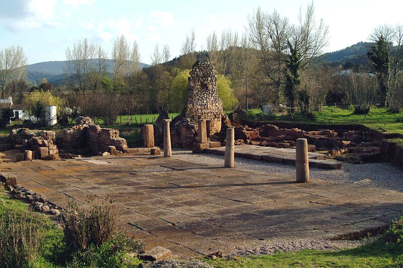 The southern city gate or Porta Sul (photography by J. Carvalho)


