Photoreport on the Brussels Innovation Convention
Radiography of the past – Uncovering the invisible on archaeological sites (stand number 33)
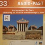 The Radio-Past project has developed innovative tools to visualize still buried examples of evaluation essays archaeological features, enabling a new type of “management” and valorization of Cultural Heritage. At the stand several devices were demonstrated, including a remotely controlled helikite platform carrying a digital camera allowing new and revealing imagery of buried sites to be taken as well as a remotely controlled drone with new software for mapping sites and topography in 3D.
The Project’s stand at the Convention belonged to the theme complex “The World in 3D”, since the project aims to develop a full 3D presentation of the ancient Roman sites currently under investigation. The photos on the left offer some impressions from the Project presentation.
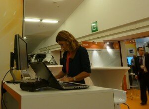
Cristina Corsi, coordinator of the Radio-Past Project, at stand 33 of the IC exhibition.
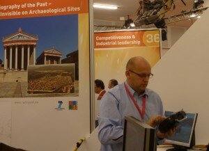
ICT specialist Guenther Weinlinger from Project partner 7Reasons (Austria).
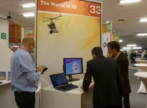
A remote sensing device exhibited and explained at stand 33.
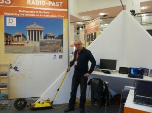
Cornelius Meyer from partner Eastern Atlas (Germany) showing a georadar used during geophysical surveys.
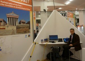
Frank Vermeulen from the University of Ghent (Belgium), representing another Project partner at the event.
_______________
Anterior post:
The first edition of the Innovation Convention, which took place in Brussels from December 5 to 6, 2011, was an important step in the EU’s roadmap to turn Europe into a more innovation-friendly and competitive continent. This conference brought together world leading experts in research and innovation to share their views on building a global innovation economy.
From a great number of applicants, the Project Radio-Past was selected to be among the 50 EU funded projects that were able to display at the conference’s exhibition the most innovative scientific results achieved in the framework of their research activities.
The Radio-Past team presented videos and performed tests and demonstrations at stand 33, entitled “Radiography of the past – Uncovering the invisible on archaeological sites”, focusing on new instruments for geophysical survey, innovative methods for remote sensing and latest ICTs approaches that are being enhanced to produce knowledge and effective ways to visualize and valorize ancient sites and townscapes.
For more detailed information see http://ec.europa.eu/research/innovation-union/index_en.cfm?section=ic2011.


