The study of large and complex sites, and the relationship with the natural components of their setting, is more and more influenced by a true geo-archaeological and geomatic approach, using techniques which combine both methods of the geosciences and of archaeological survey. The integration of an archaeological questionnaire with the use of a wide array of GIS-based analyses and visualisation tools, the application of intensive geomatic research (GPS-mapping, 3D-scanning, photogrammetry…) and geomorphological survey, create a framework which is ideally suited for characterizing the location, extent, environmental imbedding and erosion history of ancient settlements and towns.
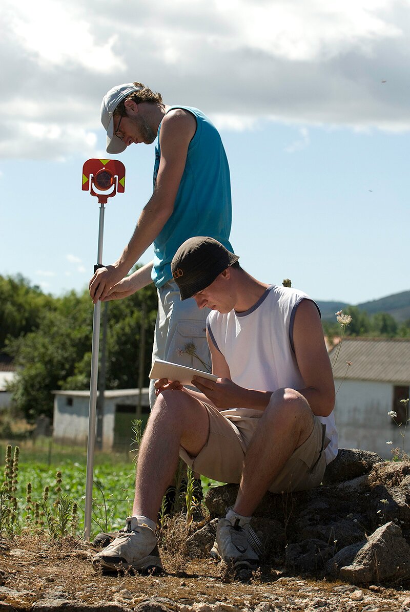 Topographical survey on the roman city of Ammaia during the 2009 summer field campaign
A crucial base for such approaches is the production of a fine Digital Elevation Model (DEM) based on remote sensing, existing (digital) maps and ground geomatics. The latter involve acquiring fine resolution data about the microtopography of the site based on a survey with total station instruments, satellite GPS or if possible with LIDAR. Through a set of field observations and activities, such as systematic coring and sampling over the site surface, the geomorphological study of the intra site erosion and palaeo-soil situation can be undertaken.

Recording of palaeochannels near the archaeological sites

Measuring the microtopography of a site with total station


