It has been shown on different classical sites in the Mediterranean that a systematic and if possible integrated wide scale application of geophysical survey techniques can contribute in a dramatic way to our understanding of ancient urban topography. Geophysical techniques are non-destructive, since all the necessary information is obtained above the ground, which allows research of buried remains without damaging them. Moreover, some of the applications are quite fast and can cover extended plots of land in just a few weeks of fieldwork, sometimes delivering very detailed plans of the archaeological presence in the soil. Common archeo-geophysical research designs include the following methods: magnetometer survey, earth resistance measurements as well as ground-penetrating radar and electromagnetic induction survey.
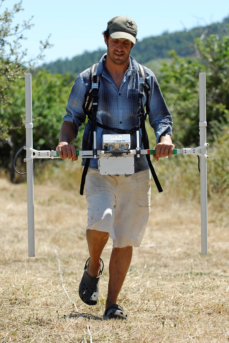 Geomagnetic survey with a Bartington instrument (photograph by G. Verhoeven)


